1964 Eel River Flood
In December 1964, unusual heavy snows followed by a Pineapple Express rain created a tremendous flood, with the warm rain melting all snow below 7,000' in a short time. As much as 21 inches of rain was recorded in a 48 hour interval in some areas of the watershed. The flood left enormous damage behind to both manmade structures and to the fish habitat. Entire towns were swept away.
During the 1964 flood, 105 million tons of suspended sediment were transported past Scotia during a 3-day period, compared to 85 million tons transported during the previous 8 years (Brown and Ritter, 1971).
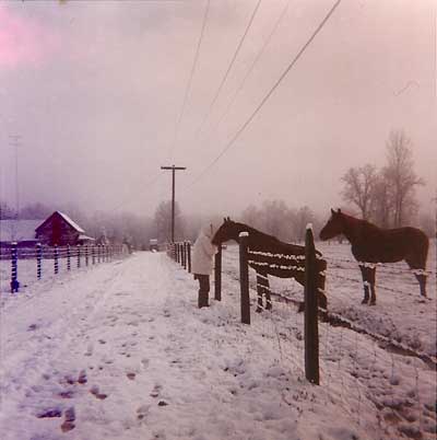 Horses in Potter Valley after an unusual snowfall in December 1964. Typically the valley floor receives a dusting every few years, and it doesn't stick long.
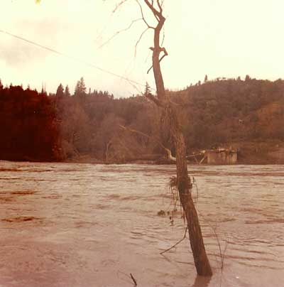
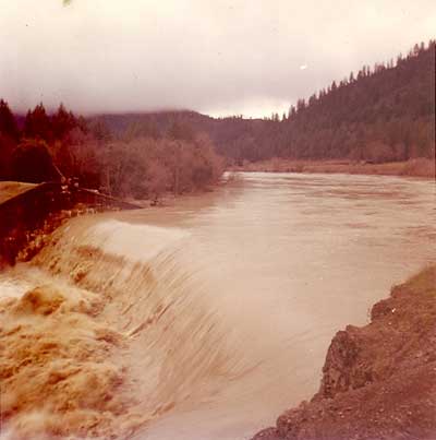 Then, it started to rain, heavily, with tropical moisture, bringing not only the rain from that storm, but also immediately melting the snow. Cape Horn Dam is well under water here, some time after the peak flows.
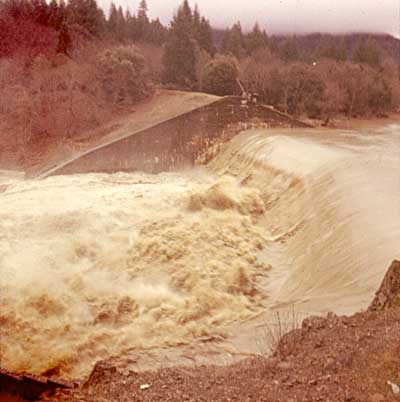
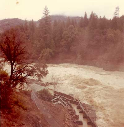
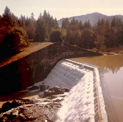
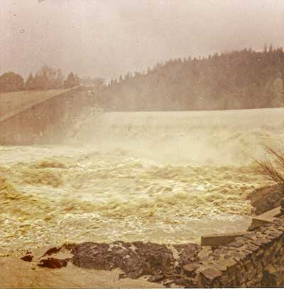 This picture was taken after the water had begun to recede. Eyewitness accounts say the water was well over the top of the concrete you see on the side of the dam in this picture, and that water over both Cape Horn and Scott Dams was so high that you could barely tell a dam was under the flow. (This is Cape Horn Dam.)
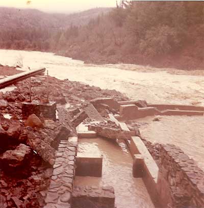 The damaged fish ladder at Van Arsdale.
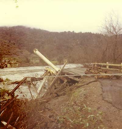 This bridge just upstream of Van Arsdale was completely destroyed. Most bridges on the Eel suffered a similar fate.
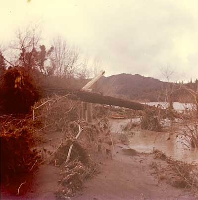 Another view of the bridge remainder. It is a challenge to photograph what isn't there.
 Debris from bridges and trees and anything in the river's path was left on the banks.
 A few days after the flood, the river is quiet again. But, you can still see the waterline high on the concrete.
Additional accounts of the 1964 Eel River flood:
- California State Parks
- Geology and sediment loads in the Eel River Basin - includes aerial photos
- The Christmas flood of 1964 swept through 40 years ago